Need to find a location using latitude and longitude in the Philippines? No matter what you are doing, coordinates can help you locate any point on the map. Google Maps, Waze, government sources, and reverse geolocation tools can be used by Filipinos to decode or search coordinates. This guide will explain how to locate these locations on the earth using their latitude and longitude and explain the best tools for finding them accurately.
What Are Latitude and Longitude?
Latitude and longitude are coordinate values that help identify specific locations on Earth.
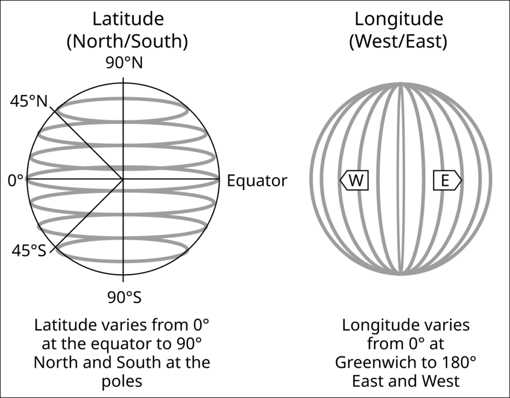
- Latitude (horizontal) measures distances north or south of the equator.
- Longitude (vertical) measures distances east or west of the Prime Meridian.
These coordinates work like an X-Y grid to accurately pinpoint any place. GPS, online maps, and navigation tools rely on them for location tracking and mapping.
Examples of Coordinates in the Philippines:
- Manila: 14.5995° N, 120.9842° E
- Cebu City: 10.3157° N, 123.8854° E
- Davao City: 7.1907° N, 125.4553° E
Now, let’s explore how you can find a location using these coordinates.
Methods to Find a Location by Latitude and Longitude in the Philippines
There are many ways to search for or find locations by latitude and longitude coordinates. Below are the best methods, with step-by-step instructions.
Using Online Maps and Tools
Users can find locations using high-accuracy latitude and longitude of high accuracy using online mapping tools. These tools provide detailed maps, directions, and terrain analysis, whether you’re using them to navigate, survey, or track. Some popular options that come to mind are Google Maps, Google Earth, and OpenStreetMap.
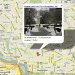
Google Maps
Google Maps is the most popular tool for finding locations by coordinates.
👉How to Use Google Maps:
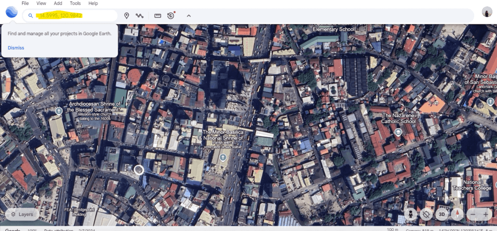
- Open Google Maps on your browser or app.
- Enter latitude and longitude in the search bar (e.g., 14.5995, 120.9842).
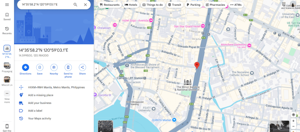
- Press Enter, and the exact location will appear on the map.
Google Earth
Google Earth provides a 3D view of locations using satellite images.
👉How to Use Google Earth:
- Download and install Google Earth on your device.

- Enter coordinates in the search bar.
- View the location in 3D mode.
Difference between Google Maps vs. Google Earth:
| Feature | Google Maps | Google Earth |
| Purpose | Navigation and real-time directions | 3D satellite imagery and terrain exploration |
| Best For | Finding places, routes, and traffic updates | Viewing landscapes, historical imagery, and terrain details |
| Internet Required? | Yes, for real-time navigation | No, can be used offline after downloading data |
| Street View | Yes, with real-time traffic updates | Yes, but mainly for exploring locations |
| 3D View | Limited 3D buildings | Full 3D rendering of terrains and structures |
| Offline Use | Limited offline maps | Can download entire regions for offline viewing |
| Use Case | Daily commuting, business listings, and travel planning | Research, environmental studies, and virtual tourism |
OpenStreetMap (OSM)
An open-source alternative to Google Maps, great for detailed mapping in rural areas.
How to Use OpenStreetMap:
- Go to OpenStreetMap.
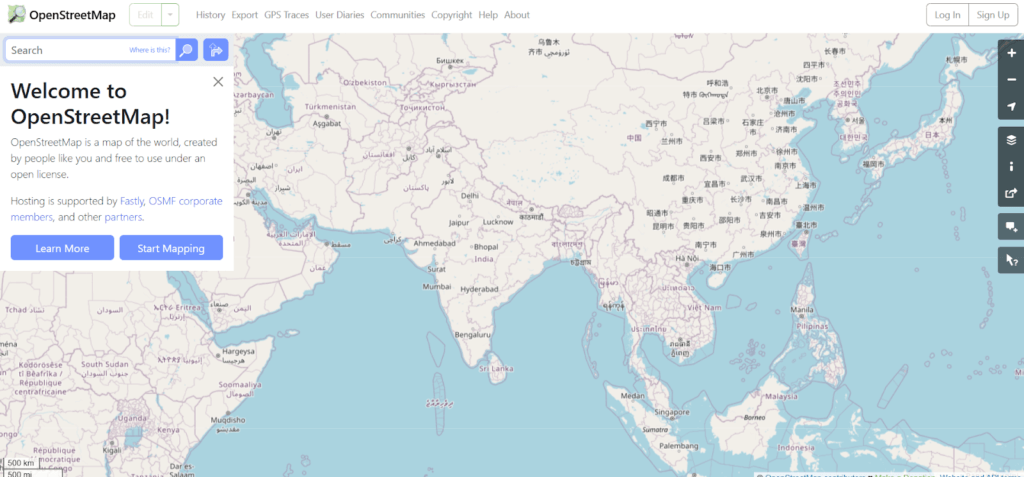
- Enter latitude and longitude in the search bar.
- View the mapped location with street details.
Mobile Apps for Location Tracking
These mobile apps make it possible to locate a place by coordinates at any time. For real-time navigation, Waze is perfect, whereas Maps.me is offline and is helpful when you don’t have internet access. These apps do the job of making the exact location fast.
Waze
Filipino drivers are quite fond of using Waze, a real-time navigation app. It gives traffic updates, alternate routes, estimated travel times, and much more. Users can enter latitude and longitude to find an exact location. It is the perfect solution for avoiding traffic congestion and locating destinations quickly.
👉How to Use Waze for Coordinates:
- Open Waze on your phone.
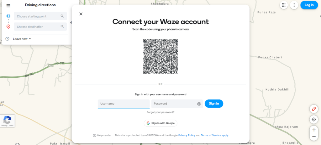
- Tap the search bar and enter latitude and longitude.
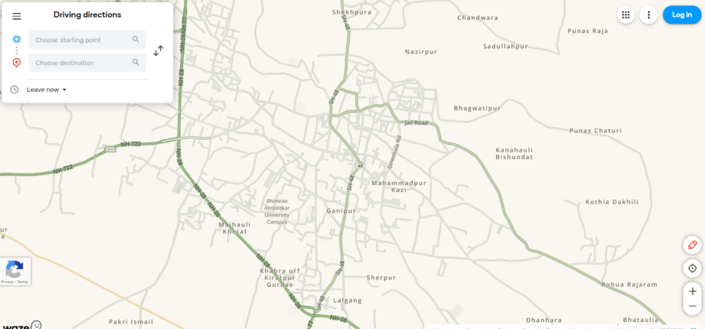
- Get the location and driving directions.
Maps.me
Maps.me is a popular offline mapping app that lets people navigate with an internet connection. It also has GPS tracking, detailed maps, and searching using latitude and longitude. This app is good for travelers and hikers as well as people in remote areas.
👉How to Use Maps.me for Coordinates:
- Download Maps.me and open the app.
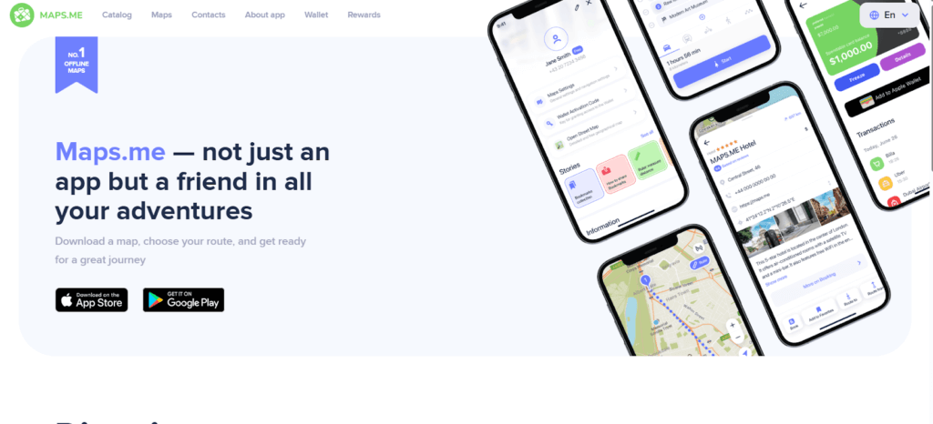
- Enter the coordinates in the search bar.
- The app will locate the position even without WiFi.
Government and Official Sources
Government-backed tools are the best for accurate and official mapping. GeoRiskPH does disaster risk mapping, PHILGIS gives us land survey data, and NAMRIA is the Philippines’ primary mapping authority. These platforms guarantee that these are reliable and government-verified geographic data.
GeoRiskPH Mobile App
GeoRiskPH is a government-backed tool that helps users assess risks based on geographic coordinates. In addition to disaster risk mapping, it allows users to enter latitude and longitude to check location-specific hazards such as earthquakes, floods, and landslides. This makes it a valuable resource.
- Download the app on your phone.
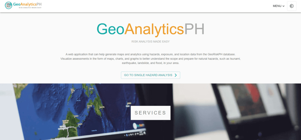
- Enter latitude and longitude to check for location.
PHILGIS Web Portal
PHILGIS is a government mapping tool used for land surveys, zoning, and geographic research. It provides detailed geospatial data for developers, researchers, and urban planners. The platform helps users access topographic maps, property boundaries, and official land records.
- Go to PHILGIS online and enter the coordinates.
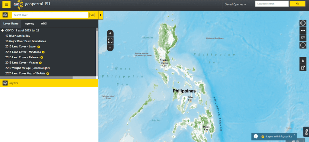
- View geospatial information related to the location.
NAMRIA (National Mapping and Resource Information Authority)
The main mapping agency in the Philippines is the NAMRIA, which compiles topographic maps, maritime charts, and land classification data. It is of great importance to the planning of infrastructure, environment management, and national security.
- Visit the NAMRIA website and enter the coordinates.
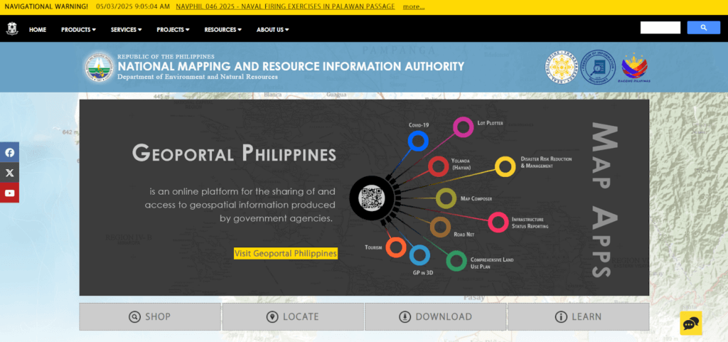
- Access topographic maps for surveys.
Reverse Geolocation Tools
The reverse geolocation tools convert latitude and longitude coordinates into street addresses. They are useful in finding exact locations, verifying addresses, mapping mysterious places, etc. Sites such as Geoapify, LocationIQ, Latlong.net, and MapDevelopers provide quick and accurate address lookups from GPS coordinates.
Best Tools to Use:
Geoapify
Geoapify is a free online tool to obtain addresses from coordinates (latitude and longitude). Users can upload files, process multiple locations, and get accurate address data.
- Visit Geoapify Reverse Geocoding online.
- Upload an Excel or CSV file with coordinates.
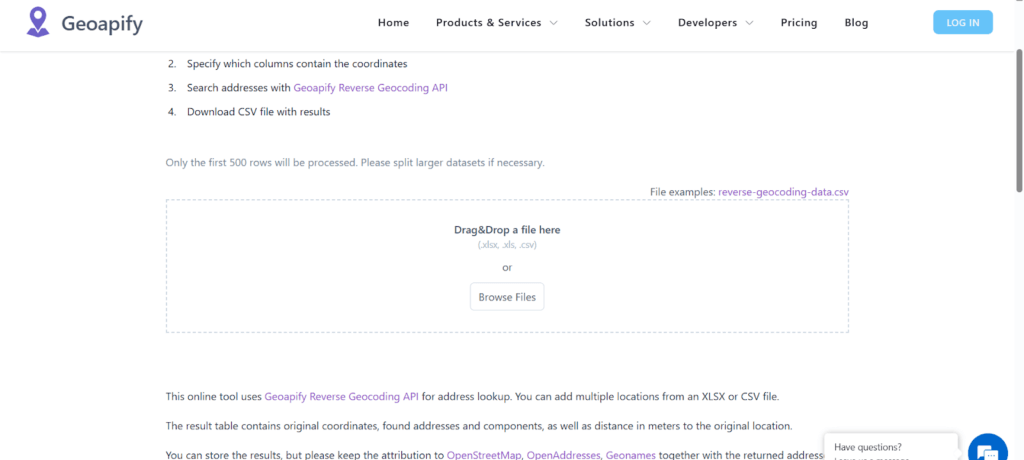
- The tool processes up to 500 locations at a time.
- Download the results with detailed address data.
LocationIQ
LocationIQ is a cheaper alternative to Google Maps’ geocoding, reverse geocoding, map, and routing APIs. It allows one to receive global location tracking, scalable API access, and reliable mapping services for websites, apps, and businesses.
- Visit LocationIQ Reverse Geocoding online.
- Enter latitude and longitude in the search bar.
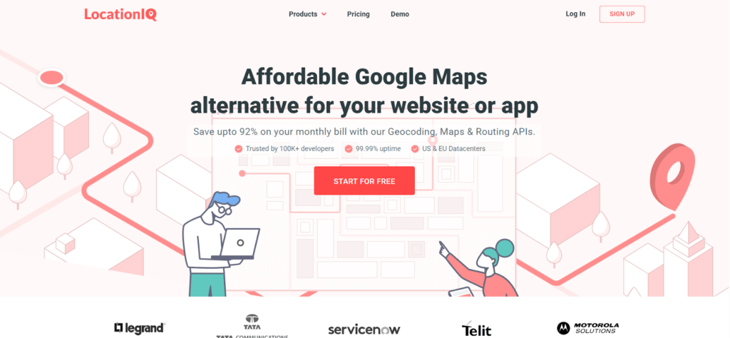
- Click Search to retrieve the address.
- View and copy the converted address data.
Latlong.net
LatLong is an easy-to-use online tool for converting addresses into latitudes and longitudes. It does fast location lookup and lets you discover places, navigate, and verify coordinates without installing or registering any kind of software.
- Visit LatLong.net.
- Enter latitude and longitude in the search bar.
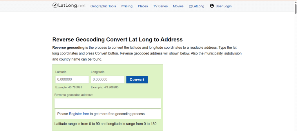
- Click Convert to find the address.
- View the reverse geocoded location on the map.
MapDevelopers
Map Developers is a free online tool that converts latitude and longitude into addresses. It permits the input of coordinates or allows you to click on a map to locate information on location.
- Visit Map Developers Reverse Geocoding Tool.
- Enter latitude and longitude in the search fields.
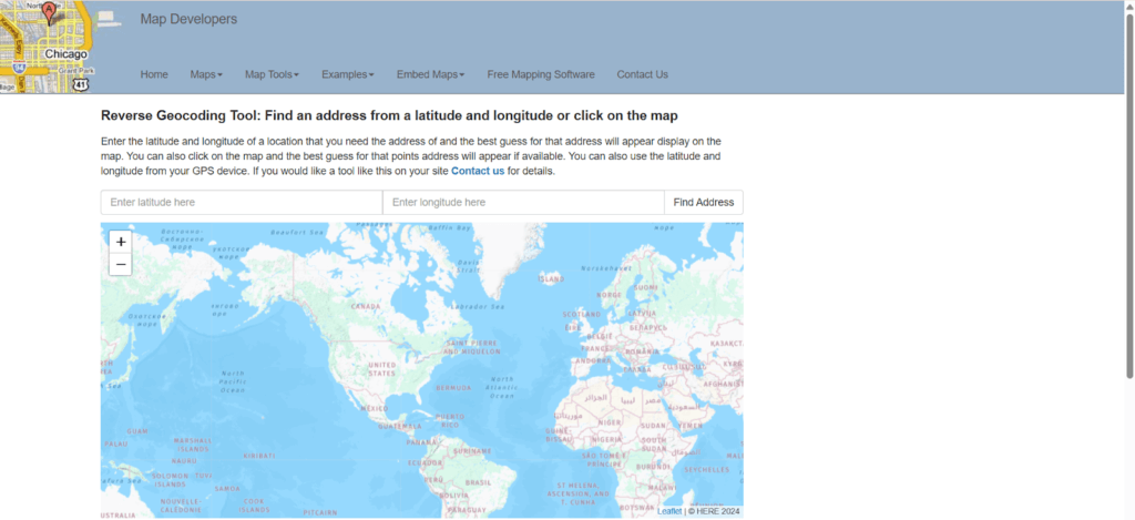
- Click Find Address to retrieve the location.
- View the estimated address on the map.
Top Benefits of Finding a Location by Latitude and Longitude
Latitude and longitude coordinates can provide specific location data used for navigation, tracking, and mapping. Location-based services are important for emergency response, business logistics, travel, and security, therefore requiring more accurate and reliable services.
- Precision: Latitude and longitude provide highly accurate location details, making them essential for mapping and tracking.
- Navigation: Helps users find places in remote or unfamiliar areas, ensuring accurate directions.
- Emergency Response: Used by rescue teams to locate disaster-hit areas quickly.
- Business Use: Supports logistics, delivery, and fleet tracking, ensuring efficient operations.
- Travel Assistance: Helps travelers navigate foreign destinations without getting lost.
- Real Estate & Land Surveying: Defines property boundaries for accurate land mapping.
- Weather Forecasting: Tracks typhoons and storms, helping in disaster preparedness.
- Security Tracking: Aids in finding lost phones, missing persons, or stolen vehicles.
FAQ
How do I find an exact address with latitude and longitude?
Use Google Maps, OpenStreetMap, or reverse geolocation tools to convert coordinates into addresses. Simply enter the latitude and longitude, and the tool will provide the address.
How to get an address from latitude and longitude in Google Sheets?
Use the Google Maps API in Google Sheets. Input the coordinates and apply a script to fetch the address automatically.
Can I locate a person by latitude and longitude?
Yes, but only if you can access their shared location. MLocator is also an online phone tracker that you can use to send tracking links to obtain real-time coordinates. To use MLocator, simply enter the phone number and tap on search. Then, enter your email address to receive the results. Complete the payment, and MLocator will send you the real-time location details via email.
Wrap Up
Latitude and longitude are necessary for navigation, tracking and mapping, and finding a location. Google Maps, Waze, government portals, and reverse geolocation tools can all be used by Filipinos to get accurate results. Knowing how to use coordinates to find locations by latitude and longitude makes life easier, whether for personal use, business, or disaster preparedness.